Selected work

Projects

Academic and applied geoscience work spanning metamorphic petrology, field geology, hydrology and petroleum-focused studies.

9

Selected academic work · field mapping, subsurface analysis, petrology & quantitative geoscience

FIELD MAPPINGSTRUCTURAL INTERPRETATIONPETROGRAPHYRESERVOIR CHARACTERIZATIONQGISQUANTITATIVE ANALYSIS
Selected projects

SELECTED PROJECTS

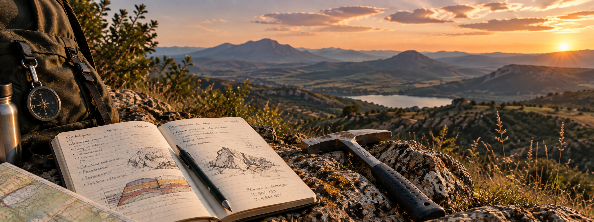
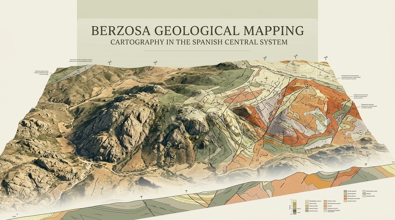
Berzosa geological mapping project cover
Field geology · Geological cartography

Berzosa Geological Mapping and Cartography

A field-based geological cartography project in the Berzosa area, translating field observations into a detailed geological map and technical report that document units, contacts and structural relationships.

  • Field geology
  • Geological mapping
  • Cartography
  • Berzosa
Petroleum reservoir project cover
Petroleum engineering · Reservoir characterization

Reservoir Engineering: Porosity, Fluid Distribution and Helium Porosimetry

A petroleum engineering study covering fluid distribution in an anticlinal reservoir, porosity and pore structure, effective porosity calculations with uncertainty analysis, and Boyle’s-law helium porosimetry for core plugs.

  • Reservoir engineering
  • Porosity
  • Fluid distribution
  • Core analysis
  • Helium porosimetry
  • Uncertainty analysis
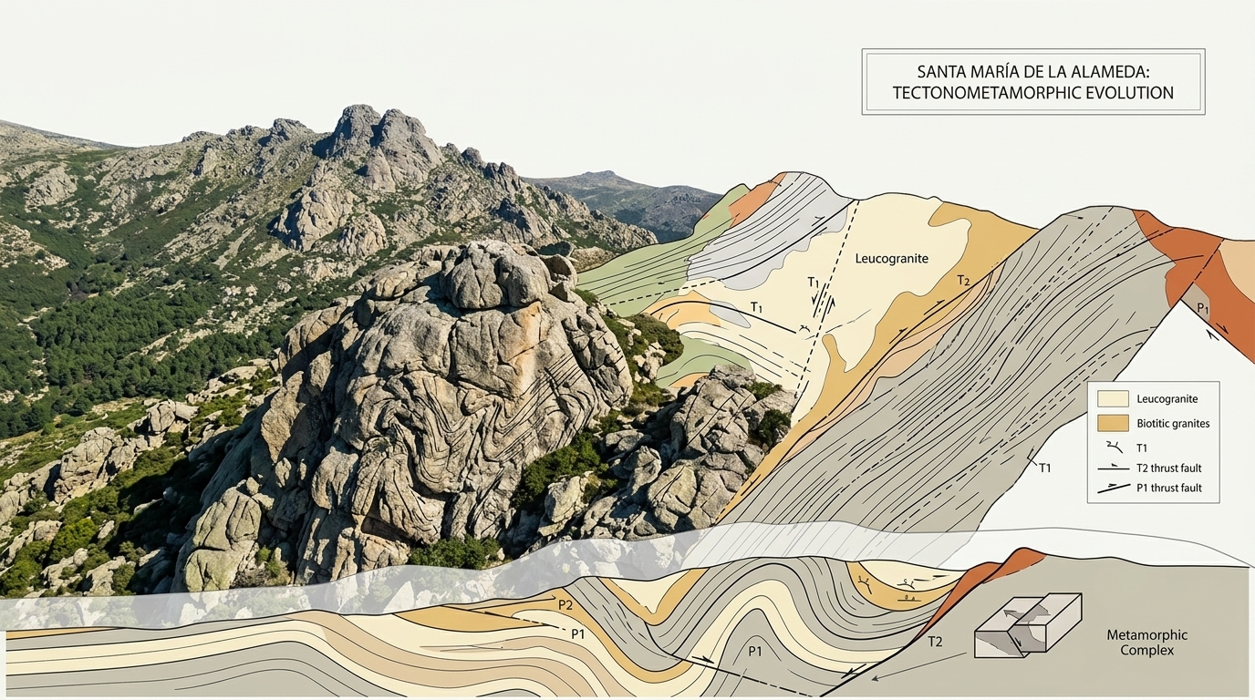
Santa María geological mapping project cover
Field geology · Tectonometamorphic evolution

Santa María de la Alameda: Geological Mapping and Tectonometamorphic Evolution

A geological field study of the southern Robledondo sector of the Santa María de la Alameda gneissic dome, combining detailed mapping, macroscopic petrographic observations and structural measurements.

The report characterises orthogneisses, leucogneisses, migmatitic levels and mylonitic bands, using foliations, lineations, folds and ductile shear zones to reconstruct Variscan deformation, metamorphism and tectonic exhumation.

  • Metamorphic petrology
  • Field geology
  • Geological mapping
  • Structural geology
  • Migmatites
  • Ductile shear zones
  • Amphibolite facies
Geological field landscape for sedimentary basin study
Sedimentary petrology · Basin analysis

Tectono-Sedimentary Evolution of Semigraben and Pull-Apart Basins

A field and petrographic study comparing the Permian semigraben basin of Pálmaces de Jadraque with the Mesozoic pull-apart basin of Sigüenza in central Iberia.

  • Sedimentary petrology
  • Basin analysis
  • Field geology
  • Permian–Mesozoic
  • Pálmaces de Jadraque
  • Sigüenza
Regional metapelites project cover
Regional metamorphism · Structural geology

Regional Metamorphism of Metapelites

A field, structural and petrographic study across the Somosierra–Hayedo de Montejo–Berzosa area, combining geological mapping, structural observations and thin-section mineralogical analysis.

Metamorphic zonation, mineral assemblages and P–T relationships are used to interpret the tectonometamorphic evolution of the area, including the relationship between deformation, progressive metamorphism and later exhumation.

  • Metamorphic petrology
  • Field geology
  • Structural geology
  • Thin-section analysis
  • Regional metamorphism
  • P–T evolution
Metabasites project cover
Metabasites · P–T evolution

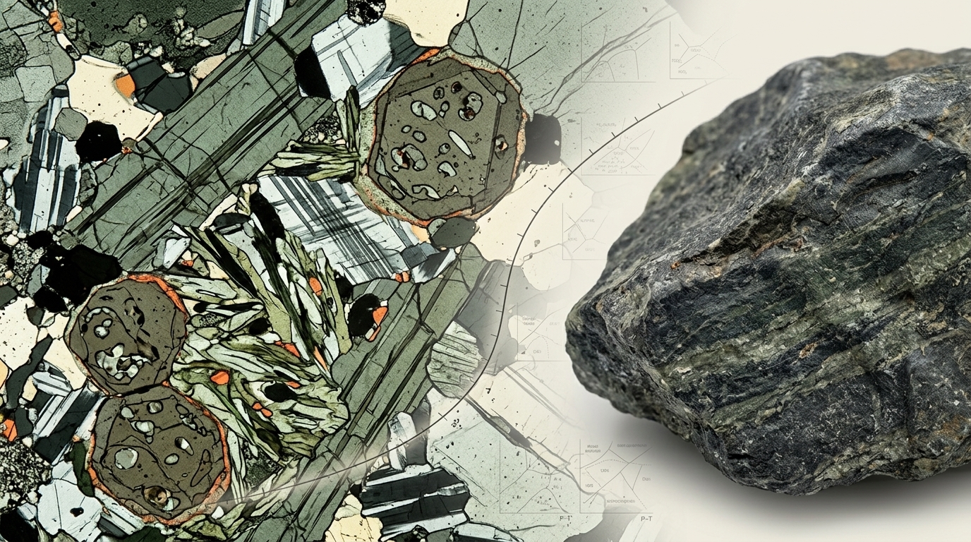
Metabasites: Petrography and P–T Evolution

A petrographic and metamorphic characterization of basic rocks through systematic thin-section study. The report identifies mineral assemblages, metamorphic textures, relics and retrograde features, then relates them to metamorphic facies and changing P–T conditions.

The samples record a broad evolution from lower-grade greenschist conditions through amphibolite, blueschist, granulite and eclogite-related assemblages. Their comparison supports a prograde trajectory toward high pressure and temperature followed by partial retrogression during exhumation.

  • Metamorphic petrology
  • Petrography
  • Thin-section analysis
  • Metabasites
  • Metamorphic facies
  • P–T conditions
Contact metamorphism project cover
Contact metamorphism · Petrography

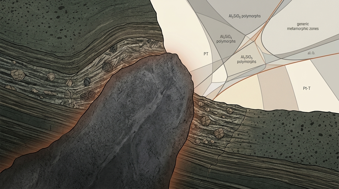
Contact Metamorphism of Metapelites

A petrographic characterization of pelitic rocks affected by contact metamorphism around an intrusive body. Thin-section descriptions focus on mineral assemblages, protoliths, textures and the changes produced by increasing temperature toward the thermal source.

The study interprets a low-pressure, high-temperature aureole using mineral stability and a petrogenetic grid, tracing spatial zonation from andalusite-bearing outer zones toward cordierite- and sillimanite-bearing inner zones.

  • Metamorphic petrology
  • Petrography
  • Thin-section analysis
  • Contact metamorphism
  • Mineral assemblages
  • Metamorphic zonation
Collection

HYDROLOGY & WATER RESOURCES

Peñarroya reservoir basin hydrology project cover
Hydrology · Basin analysis

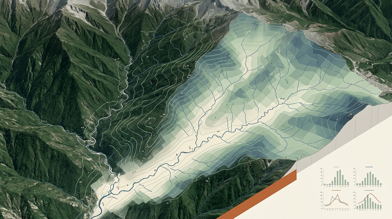
Hydrological Study of the Peñarroya Reservoir Basin

A hydrological assessment of the Peñarroya reservoir basin and the Ruidera Lakes area in Campo de Montiel, focused on how precipitation, evapotranspiration, runoff and groundwater contribute to the basin water balance.

The study combines manual and QGIS-based watershed delineation with arithmetic means, Thiessen–Voronoi polygons, isohyet methods, Thornthwaite potential evapotranspiration, rating curves and hydrograph separation to evaluate water availability and environmental pressures.

  • Hydrology
  • Water balance
  • QGIS
  • Watershed delineation
  • Thiessen–Voronoi
  • Evapotranspiration
  • Runoff analysis
Madi catchment hydrology project cover
Hydrology · Data analysis

Precipitation Analysis of the Madi Catchment, Nepal

NTNU coursework focused on precipitation data analysis, variability and interpretation for the Madi catchment.

  • Hydrology
  • Data analysis
  • Hydrological data
More to come soon
Research focus

Geology in practice.

These projects bring together field observation, mapping, petrographic interpretation, geomorphology and quantitative analysis to understand how geological processes shape rocks, landscapes and water systems.

Discuss this work →